
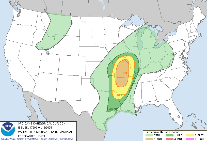
Risk Level: Enhanced
Chasers: Active & Monitoring
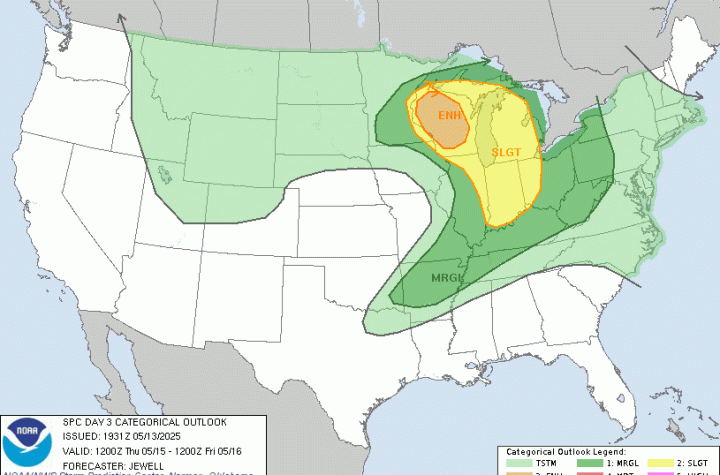
Summary
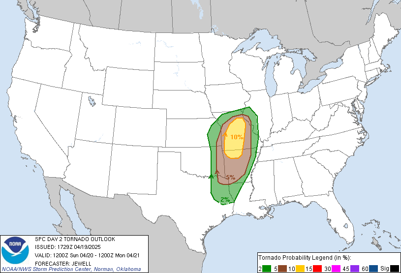
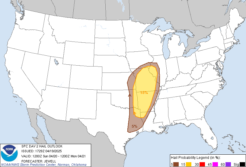
Severe thunderstorms are expected Sunday from east Texas through the Lower Missouri and Middle Mississippi Valleys. The SPC highlights northern Arkansas, Missouri, and far western Illinois as the primary area of concern for tornadoes and damaging wind gusts.
Key Details
- A strong shortwave will sweep through the region, enhancing shear and lift.
- Supercells are forecast to develop along a cold front from eastern KS/OK to AR/MO.
- Greatest tornado potential: northern AR and central MO.
- Storms may persist into the evening and nighttime hours across IL and the MS River corridor.
Midwest Storm Chasers will have active teams deployed Sunday and will be posting live updates throughout the event.
Note: The Day 1 SPC Outlook will be posted tomorrow morning.


More Stories
🌪️ Severe Weather Outlook – Monday, May 19, 2025
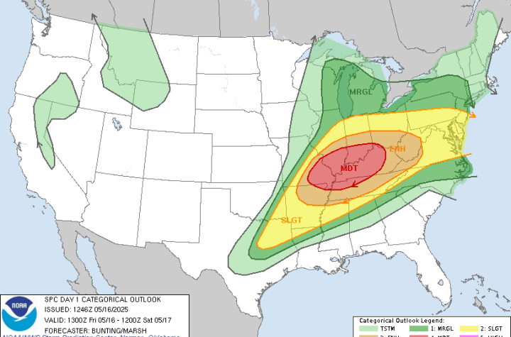
🌀 Midwest Storm Chasers – Day 1 Severe Weather Forecast📅 Valid: Friday, May 16, 2025 | 7:00 AM CDT – Saturday, May 17, 2025 | 7:00 AM CDT📍 Target Regions: Mid-Mississippi Valley, Ohio Valley, Tennessee Valley
🌀 Midwest Storm Chasers Ops Desk Forecast📅 Day 3 Convective Outlook📍 Valid: Thursday, May 15, 2025 | 7:00 AM CDT – Friday, May 16, 2025 | 7:00 AM CDT📌 Issued: May 13, 2025 – 2:45 PM CDT📍 Lead Forecaster: Collin Leck