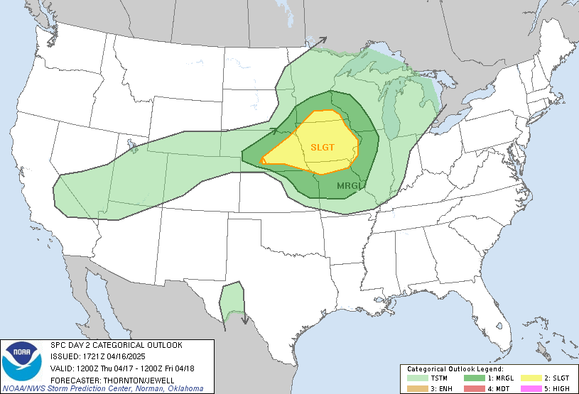
The Storm Prediction Center has issued a Slight Risk for severe weather on Thursday, April 17, 2025, across portions of the eastern Central Plains and Upper Midwest, including parts of Nebraska, Iowa, and southern Minnesota.
⚠️ Forecast Summary
- Risk Level: Slight (Level 2 of 5)
- Primary Threats:
- Large to very large hail (potentially 2”+)
- Damaging wind gusts
- Isolated tornado possible
- Most at-risk areas include:
- Eastern Nebraska
- Western and central Iowa
- Southwestern Minnesota
🛰️ Synoptic Overview
A broad upper-level trough extending from western Canada into the Rockies will support widespread southwesterly flow aloft across the Plains. At the surface, a low pressure system will develop over western Kansas, with a frontal boundary extending northeast into Iowa and Minnesota.
By the afternoon, warm-sector destabilization is expected to lead to thunderstorm development — especially along a triple point near eastern Nebraska, where a dryline and frontal boundary intersect.
- MLCAPE values: 1500–2500 J/kg
- Dewpoints: Mid 50s to low 60s
- Wind profiles: Favor supercell structures
- Steep lapse rates: Supportive of significant hail
⛈️ Local Discussion
Thunderstorms are most likely to initiate across eastern Nebraska by mid-to-late afternoon, with a corridor of open warm-sector air supporting surface-based supercells. These storms will be capable of:
- Very large hail (>2″)
- Damaging winds
- An isolated tornado, mainly early
With time, storms may become slightly elevated or undercut by frontal boundaries, which will limit tornado potential but allow hail and wind threats to continue as the storms move eastward.
Some convection may reach as far north as southwestern Minnesota, though marginal moisture may limit storm strength in that region.
🕒 Timing
- Storm initiation: 3–6 PM CDT
- Main severe window: 5 PM – 10 PM CDT
- Storm mode: Discrete early, possible training or clusters later
🚨 Midwest Storm Chasers Outlook
Our team is actively monitoring tomorrow’s setup and may deploy to southeastern Nebraska or western Iowa if surface-based storm development appears likely.
We’ll be livestreaming any chase activity and updating our live map as conditions evolve.
📡 Live Map: Coming Soon
🎥 Livestream: Midwest Storm Chasers YouTube Channel
Stay tuned to official National Weather Service alerts and watch for additional updates as models refine the exact placement of risk.
—
Posted by Collin Leck Midwest Storm Chasers – April 16, 2025

More Stories
🌪️ Severe Weather Outlook – Monday, May 19, 2025
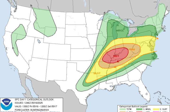
🌀 Midwest Storm Chasers – Day 1 Severe Weather Forecast📅 Valid: Friday, May 16, 2025 | 7:00 AM CDT – Saturday, May 17, 2025 | 7:00 AM CDT📍 Target Regions: Mid-Mississippi Valley, Ohio Valley, Tennessee Valley
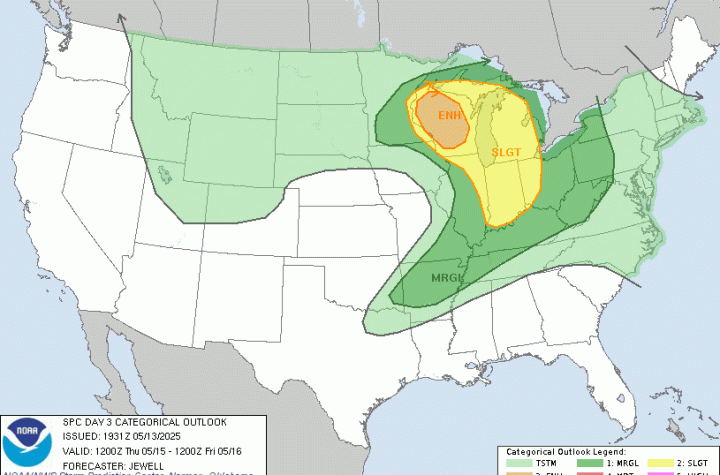
🌀 Midwest Storm Chasers Ops Desk Forecast📅 Day 3 Convective Outlook📍 Valid: Thursday, May 15, 2025 | 7:00 AM CDT – Friday, May 16, 2025 | 7:00 AM CDT📌 Issued: May 13, 2025 – 2:45 PM CDT📍 Lead Forecaster: Collin Leck