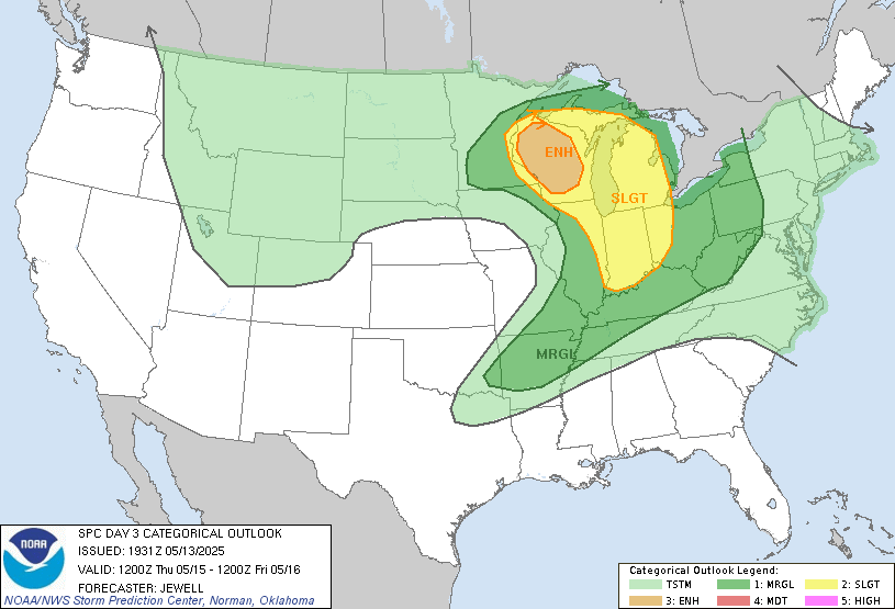
🔶 Risk Areas
- ENHANCED Risk – Much of Wisconsin
- SLIGHT Risk – Eastern Minnesota, Upper Michigan, Northern Illinois/Indiana/Ohio
- MARGINAL Risk – From western Kentucky into Arkansas and southern Missouri
🔍 Forecast Overview
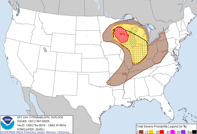
A rapidly evolving setup is expected Thursday afternoon into the overnight hours, driven by a deepening upper low over the northern Plains and a sharp shortwave racing into the Upper Midwest. Surface cyclogenesis over the ND/MN border will draw rich Gulf moisture northward into WI and MI, setting the stage for a volatile severe weather day.
⚠️ Primary Threats
| Hazard | Details |
|---|---|
| 🌪️ Tornadoes | Few strong tornadoes possible across central/northern Wisconsin |
| 🧊 Very Large Hail | 2.0″+ hail potential with supercells from WI into Lower MI |
| 💨 Damaging Winds | Gusts to 65–75 mph possible in evening clusters |
| 🌩️ Nocturnal Storms | Persistent severe risk after dark across MI, IN, OH |
⏰ Timing & Location
- 2–6 PM CDT – Discrete supercells likely to initiate near the MN/WI border
- 4–9 PM CDT – Supercells mature and race east through central/northern WI
- 6–11 PM CDT – Expansion of activity into Lower MI, IN, and northwest OH
- After Midnight – Isolated severe storms may develop near OH River into AR
🌪️ Chaser Target Zones
| Priority | Location | Rationale |
|---|---|---|
| 🎯 Primary | Central Wisconsin (WI-29 Corridor) | Highest tornado & hail threat; discrete modes likely |
| ⚠️ Backup | Eastern WI into Lower MI | Favorable CAPE/ESRH, though storm mode may become messy |
| 📉 Low | OH River Valley – KY/AR | More conditional; capped early, less shear after midnight |
🧠 Key Forecast Notes
- Supercell structure favored by veering low-level flow & steep mid-level lapse rates
- Strong tornado potential exists where cap is breached with strong ESRH in WI
- Watch for capping across IL/IN through early evening—storm initiation may be delayed
- Nocturnal threats may focus on hail and locally damaging wind with weakening shear
📍Next Ops Update: 10:00 AM CDT Wednesday
Prepared by Midwest Storm Chasers Operations Desk – Stay Weather-Ready.
🌪️ www.midweststormchasers.org | 📻 WX-Net Channel 3 | 🔴 Live Updates on Discord


More Stories
🌪️ Severe Weather Outlook – Monday, May 19, 2025
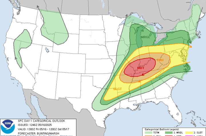
🌀 Midwest Storm Chasers – Day 1 Severe Weather Forecast📅 Valid: Friday, May 16, 2025 | 7:00 AM CDT – Saturday, May 17, 2025 | 7:00 AM CDT📍 Target Regions: Mid-Mississippi Valley, Ohio Valley, Tennessee Valley
Severe Weather Outbreak Expected – Monday, April 28, 2025